CONTACT US:
Florida Fish and Wildlife
Conservation Commission
Fish and Wildlife
Research Institute
100 Eighth Avenue SE
St. Petersburg, Florida 33701
727-896-8626
|
|
|
|
|
Partial funding for this project was obtained through the Federal Aid in Sport Fish Restoration Fund.
|
|
|
 |
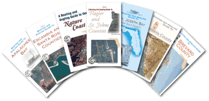 |
The printed Boating and Angling Guides have become one of FWRI’s most popular publications since the first Guide to Tampa Bay was printed in 1992. Since then, over 2.5 million guides have been printed for 23 regions around the state and 4 focused guides for smaller regions. To discover more information about the Florida Boating and Angling Guide Series, visit About This Series.
|
Digital versions of some of the printed guides are offered below. These contain some basic information about the area, an updated Resource Directory, and maps enabled for pan-and-zoom. Please check back often as additional digital versions of the printed Guides will be made available.
|
|
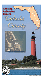
Boating and Angling Guide to Volusia County (2014)
The Boating and Angling Guide to Volusia County shows the riverine and coastal areas of Volusia County. Side A of the Guide shows the riverine waters of the St. Johns River from Lake George to Lake Harvy, including Lake Dexter, Lake Woodruff, Lake Beresford, Black Water and Wekiwa rivers, Lake Monroe, and Lake Harney. Side B of the Guide also shows the coastal waters of Volusia County from Tomoka Basin to Mosquito Lagoon/Indian River, including Tomoka River, Halifax River, Ponce de Leon Inlet, and Halifax River North.
|
|
|
|
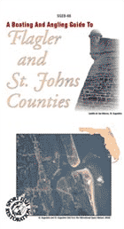
Boating and Angling Guide to Flagler and
St. Johns Counties (2010)
The Boating and Angling Guide to Flagler and St. Johns Counties shows a large area of northeast Florida. One side of the Guide shows the coastal waters from Ponte Vedra Beach to Ormond Beach/Holly Hill, including the Guana, Tolomato, Matanzas, Halifax and Tomoka Rivers, and Saint Augustine and Matanzas Inlets. This Guide also shows the St. Johns River from the Buckman Bridge south to Cescent Lake, Murphy Creek and Dunn's Creek.
|
|
|
|
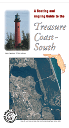
Boating and Angling Guide to the
Treasure Coast - South (2010)
The Boating and Angling Guide to the Treasure Coast - South covers the southern portion of the Treasure Coast. The map shows the coastal waters from Jensen Beach to north Lake Worth Lagoon, including the Indian,St. Lucie, and Loxahatchee Rivers; St. Lucie and Jupiter Inlets; and Hobe Sound. This Guide also shows the cities of Jensen Beach, Port. St. Lucie, Stuart, Tequesta, Jupiter, and Juno Beach.
|
|
|
|
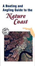
Boating and Angling Guide to the Nature Coast (2008)
The Boating and Angling Guide to the Nature Coast shows the coastline from the Fenholloway River to the Withlacoochee River. Side A shows the coastal waters from Suwanne/Suwannee River to the Withlacoochee River, including Waccasassa and River and Bay, Cedar Key and Withlacoochee River. Shown on this side are Cedar Key, Suwanne/Suwannee River, to the Withlacoochee River, including Waccasassa River and Bay, Cedar Key and Withlacoochee River. Side B shows the coastal waters from Fenholloway River to Cedar Key. Shown on this side are Cedar Key, Suwanne/Suwannee River, Steinhatchee/Steinhatchee River, Dekle Beach, and Fenholloway River.
|
|
|
|
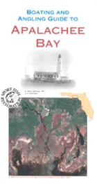
Boating and Angling Guide to Apalachee Bay (2007)
The Boating and Angling Guide to Apalachee Bay shows the coastline from the Ochlockonee River to the Fenholloway. Shown on this map are Alligator Point and Harbor; Ochlockonee River and Bay; St. Marks, Wakulla, Econfina, Aucilla, and Fenholloway Rivers; and the towns of Panacea, Shell Point, and St. Marks.
|
|
|
|
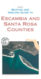
Boating and Angling Guide to Escambia and
Santa Rosa Counties (2007)
(Formerly the Boating and Angling Guide to Pensacola Bay)
The Boating and Angling Guide to Escambia and Santa Rosa Counties shows the coastline of Perdido and Pensacola Bays. Shown on this map are Perdido, Pensacola, Escambia, and East Bays; Perdido, Escambia, Blackwater, and Yellow Rivers; Big Lagoon; and Santa Rosa Sound. Also shown are Pensacola, Pace, Milton, Navarre Beach, Pensacola Beach, and NAS Pensacola.
|
|
|
|
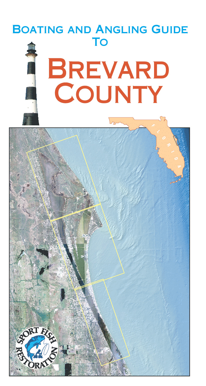
Boating and Angling Guide to Brevard County (2007)
The Boating and Angling Guide to Brevard County shows the coastline of of Brevard County. Shown on this map are Indian River and Mosquito Lagoons, Banana and Indian Rivers, Titusville, Cocoa, Cocoa Beach, Eau Gallie, Melbourne, and Palm Bay. Also shown are Merritt Island National Wildlife Refuge and Canaveral National Seashore.
|
|
|
|
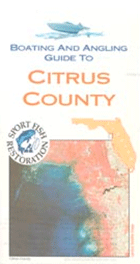
Boating and Angling Guide to Citrus County (2003)
The Boating and Angling Guide to Citrus County shows the coastline of of Citrus County. Shown on this map are Withlacoochee, Crystal, Homosassa, and Chassahowitzka Rivers; Crystal River, Homosassa, and Ozello; St. Martins Marsh Aquatic Preserve; and Crystal River and Chassahowitzka National Wildlife Refuges. Also shown are Crystal River Archeological State Park and Homosassa Springs Wildlife State Park
|
|
|
|
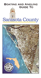
Boating and Angling Guide to Sarasota County (2007)
The Boating and Angling Guide to Citrus County shows the coastline of Sarasota County and Sarasota Bay. Side A of the Guide shows the waters of southern Sarasota Bay and Lemon Bay (to the Sarasota County/Charlotte County line). Shown on this map are Venice, Nokomis, Nokomis Beach, South Venice, and Englewood. Side B shows the waters of Satasota Bay from the Manatee River to Venice. Shown on this side of the Guide are Bradenton, Longboat Key, Sarasota, Siesta Key, Osprey, and Venice. Also shown on this Guide are Oscar Scherer State Park and Lemon Bay Aquatic Preserve
|
|
|
|
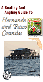
Boating and Angling Guide to Hernando and
Pasco Counties (2013)
The Boating and Angling Guide to Hernando and Pasco Counties shows the coastline of Hernando and Pasco Counties from the Chassahowitzka River to the Anclote River. Shown on this map are Chassahowitzka, Weeki Wachee and Cotee rivers; Bayport Weeki Wachee, Hernando Beach, Aripeka, Hudson, and New Port Richey; Chassahowitzka National Wildlife Refuge; and Weeki Wachee, Werner-Boyce Salt Springs, and Anclote Key Preserve State Park.
|
|
|
|
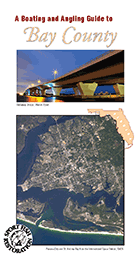
Boating and Angling Guide to Bay County (2013)
(Formerly the Boating and Angling Guide to St. Andrew Bay)
The Boating and Angling Guide to Bay County shows the coastline of Bay County, including Mexico Beach, Lake Powell, West Bay, East Bay, North Bay, St. Andrew Bay, St. Andrew Sound, and Deer Point Lake. Also shown on this map are Panama City, Panama City Beach, Lynn Haven, Tyndall Air Force Base, St. Andrews State Park, and Camp Helen State Park.
|
|
|
|
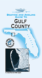
Boating and Angling Guide to Gulf County (2001)
The Boating and Angling Guide to Gulf County shows the coastal waters of Gulf County from Beacon Hill to Indian Peninsula/St. Vincent Island. The map shows the areas of St. Joseph Peninsula, St. Joseph Bay, Port St. Joe, Cape San Blas, Indian Lagoon, and Indian Pass. Also shown are St. Joseph Peninsula State Park, St. Joseph Bay Aquatic Preserve, St. Vincent National Wildlife Refuge. A small portion of Apalachicola Bay is also shown.
|
|
|
|
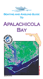
Boating and Angling Guide to Apalachicola Bay (2004)
The Boating and Angling Guide to Apalachicola Bay shows the coastal waters of Apalachicola Bay from Ochlockonee Point/BaldPoint to Indian Peninsula/St. Vincent Island. The map shows the areas of Apalachicola Bay, Apalchicola, St. George Island, Dog Island, Carabelle, Alligator Harbor, and Indian Pass. Also shown are St. George Island State Park, Apalachicola Bay Aquatic Preserve, St. Vincent National Wildlife Refuge, Apalachicola National Estuarine Research Reserve, and Alligator Harbor Aquatic Preserve.
|
|
|
|
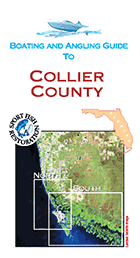
Boating and Angling Guide to Collier County (2007)
The Boating and Angling Guide to Collier County shows the coastal waters of southwest Florida from the Lee/Collier County line to Cape Romano to Everglades City/Chokoloskee. The map shows the areas of Delnor-Wiggins, Doctors, and Gordon passes; Naples; Naples and Rookery bays; Keewaydin Island, Marco Island, Cape Romano, Goodland, and the Ten Thousand Islands. Also shown are manatee speed zones for Collier County.
|
|
|
|
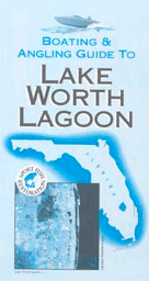
Boating and Angling Guide to Lake Worth Lagoon (2003)
The Boating and Angling Guide to Lake Worth Lagoon shows inshore waters of Lake Worth Lagoon and the coastal waters just offshore. The map shows the areas of North Palm Beach, Riviera Beach, West Palm Beach, Palm Beach, Lantana, Hypoluxo, and Boynton Beach. Also shown are Little Lake Worth, Lake Worth Cove, Munyon Island, Peanut Island, Lake Worth Inlet, Blignham Islands, Hypoluxo Island, and Boynton Inlet. Also shown are John D. MacArthru State Park and hardbottom habitat in the Atlantic Ocean.
|
|
|
|
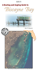
Boating and Angling Guide to Biscayne Bay/
Guía de Pesca y Navegación en Biscayne Bay (2018)
|
The Boating and Angling Guide to Biscayne Bay shows the coastal waters of Miami-Dade from Dumfoundling Bay to Old Rhodes Key/Key Largo. The maps show the areas of Dumfoundling Bay; North Miami Beach; Oleta River; Bakers Haulover Inlet; North Miami; JFK, Julia Tuttle, Venetian and MacArthur Causeways; Biscayne Bay; Miami; Miami Beach; Port of Miami; Government and Bear Cuts; Virginia Key; Key Biscayne; Coral Gables Waterway; Matheson Hammock; Safety Valve; Elliot Key; and Card Sound. The maps also Biscayne National Park, Oleta River State Park, Bill Baggs Cape Florida State Park,and Biscayne Bay Aquatic Preserve.
|
La Náutica y Pesca Gu&iactue;a de Biscayne Bay muestra las aguas costeras de Miami-Dade desde Dumfoundling Bay a Old Rhodes Key/Key Largo. Los mapas muestran las áreas de Dumfoundling Bay, North Miami Beach; Oleta River; Bakers Haulover Inlet; North Miami;Causeways venecianos y MacArthur y JFK y Julia Tuttle; Biscayne Bay; Miami, Miami Beach, Puerto de Miami; Government and Bear Cuts; Virginia Key; Key Biscayne; Coral Gables Canal; Matheson Hammock; Elliot Key; y Card Sound. Los mapas también Parque Nacional Biscayne, Oleta River State Park, Bill Baggs Cabo Florida State Park y Biscayne Bay Aquatic Preserve.
|
|
|
|
|
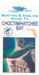
Boating and Angling Guide to Choctawhatchee Bay (2004)
The Boating and Angling Guide to Choctawhatchee Bay shows the coastal waters of of Okaloosa and Walton counties, from west of Fort Walton Beach to the mouth of the Choctawhatchee River. The maps show the areas of Fort Walton Beach; Shalimar; East Pass; Destin; Destin Harbor; Niceville; Tom's, Boggy, Rocky, Joe's, Hogtown, Basin, Alaqua, and LaGrange bayous; Sandestin; Freeport, and Grayton Beach. Also shown are Eglin Air Force Base; Henderson Beach, Topsail Hill Preserve, Grayton Beach, and Eden State Gardens state parks/state recreation areas.
|
If you have any questions, comments, or suggestions about this Web site, please e-mail us at Boating_Guides@MyFWC.com.
Would you like to receive notices of changes to this Web site and the Florida Boating and Angling Guide Series? If so, please e-mail us and include SUBSCRIBE-BAG in the subject line.
|