Search area maps
Regional search area maps for use during cold stunning events can be obtained from this site.
Current water temperatures at select Gulf of Mexico locations
Visit this page for a report on water temperatures at several locations across the northern Gulf of Mexico where cold-stunnings may occur.
Sea surface temperature
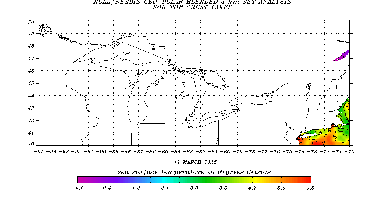
The sea surface temperature map (below) is updated daily with data provided by the NOAA Office of Satellite and Product Operations. Click the image to download a larger version.
Points of interest
Visit the Florida Public Boat Ramp Finder application to locate boat ramps throughout the state.
Map of points of interest during cold-stun events.
View Cold-stun events points of interest in a larger map
