Explore the marine and fishery resources of the South Atlantic Bight.
Web Mapping Applications
-
Fisheries
This application displays fishery independent data collected by the SEAMAP - South Atlantic (SA) component and by the Marine Resources Monitoring, Assessment, and Prediction (MARMAP) program. The application also contains bathymetry, benthic habitats, focal species strata, EcoGIS layers and regulatory boundaries.
View Project -
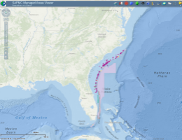
Managed Areas
This web application provides users an opportunity to view managed areas in the SAFMC's jurisdiction. The application contains data for the Allowable Golden Crab Fishery Areas, Shrimp Fishery Access Areas, and Deepwater Coral HAPCs. The application also includes SAFMC Restrictions, Marine Protected Areas, Oculina CHAPC, Danger Zones, and other Federal Marine Managed Areas.
View Project -
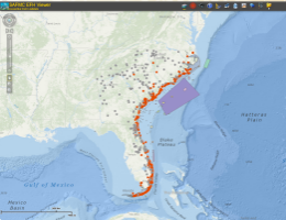
Essential Fish Habitat
You can access available maps of EFH and HAPCs in the South Atlantic region using the SAFMC EFH Viewer. This application displays Essential Fish Habitat (EFH) and Essential Fish Habitat-Habitat Areas of Particular Concern (EFH-HAPCs) for several species under SAFMC's jurisdiction. It also displays EFH for Highly Migratory Species (HMS) managed by NOAA Fisheries.
View Project
