Map Services
Core Services

Managed Areas
Contains data for the Allowable Golden Crab Fishery Areas, Shrimp Fishery Access Areas, Deepwater Coral HAPCs, SAFMC Restrictions, Marine Protected Areas, Danger Zones, and other Federal Marine Managed Areas.
Complementary Services

Habitats
Displays habitat data collected by SEADESC, Harbor Branch Oceanographic Institute (HBOI) and Ocean Exploration dives, as well as the SEAMAP shallow and ESDIM deepwater bottom mapping projects, multibeam imagery, and scientific cruise data.

Nautical Charts
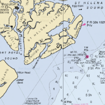
Displays coastal, general, and overview nautical charts for the SAFMC’s jurisdictional area. Although updated charts are available from NOAA's RNC map service, SAFMC has found the LORAN lines dipslayed on older charts helpful in public workshop forums.
External Services

NOAA's Estuarine Bathymetry
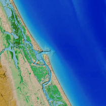
Estuarine Bathymetry was developed by the Special Projects Office of the National Ocean Service (NOS) as part of a project to produce readily available bathymetry. Seventy of the approximately 130 estuaries within the conterminous U.S. are available from this site.


